


-
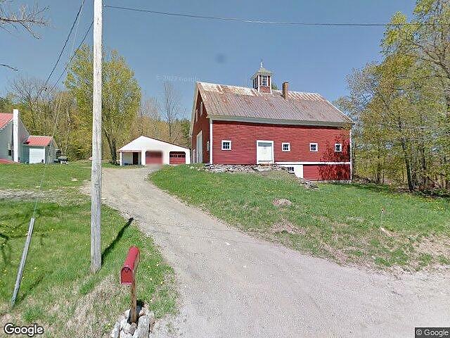
176 GORE RD BRYANT POND, ME 04219
- Single Family Home / Resale (MLS)
1 of
1

Register to view full details of all properties including foreclosures, Hud Homes and more. View Homes
Property Details for 176 GORE RD, BRYANT POND, ME 04219
Features
- Lot Size: 124582.00 sq. ft.
- Stories: 1.5
Facts
- Year Built: 01/01/1930
- Property ID: 1027025623
- Parcel Number: WOOK M:011 L:0027
- Property Type: Single Family Home
- County: OXFORD
Real Estate Professional In Your Area
Are you a Real Estate Agent?
Get Premium leads by becoming a UltraForeclosures.com preferred agent for listings in your area

All information provided is deemed reliable, but is not guaranteed and should be independently verified.